lands protected in perpetuity
As if 2018, hundreds of acres of coastal and open Hāna lands were on the market and under threat of development, with two possible outcomes for these lands.
One future for these lands would have been for large family estates predominated by absentee owners with no historical ties to the land, further land purchase investment speculations, limited shoreline access for residents, and for many lineal descendants a sense of final relinquishment of the ancient lands of myth and legend.
Fortunately, through the hard work of many dedicated volunteers, funding from the Hawaii Legacy Land Conservation Program and the County of Maui Open Space Fund, and partnership with Hawai‘i Land Trust and others, Ke Ao Hāli‘i has been able to successfully acquire over 186 acres land to date, which is now conserved in perpetuity, nurtured, restored, and maintained by lineal descendants and Hāna residents.
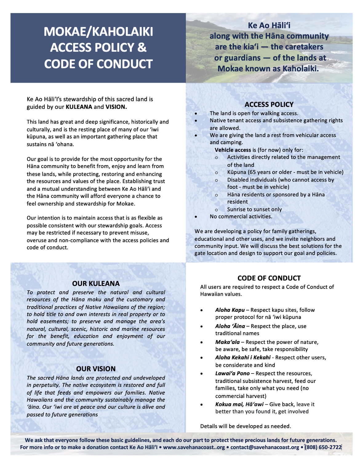
access policy

Geography and Historical Significance
Haleakala (10,300 ft at summit) is a late stage dormant volcano, geometrically composed of five broad plateau valleys each separated by steep (pali) ridges: Haleakala crater (central), surrounded clockwise by Keanae, Waihoi, Kipahulu, and Kaupo Valleys. The upper Waihoi valley is a high altitude tropical forest plateau with an elevation of 3000 feet. It is surrounded on three sides by 1000 ft sheer ridges; the eastern face is open appearing like a broken cup, the result of repeated cycles of wind and water errosion and volcanic flows. An outflow watershed system is composed by two primary streams, the Kapia (on the north) and Waihonu (south) forming a long longitudinal strip stretching from high mountain elevations to coastal waters. Our conservation efforts include coastal lands between these streams and additional adjacent areas to the north.
This verdant, windward, coastal area was one of the first areas settled by early Polynesian explorers; estimates date settlement and cultivation from 800-900 AD. The area’s antiquiuty is illustrated by its legendary significance (Wahi pana): the landmark areas of Leho’ula, Pu’u Ka Iwi O Pele, A-lau Island, Haneoo, Hamoa, and Maka’alae are locations of traditional Hawaiian stories of deities and demi-gods. The tales were historically maintained in vocal stories and transmitted by chants, and illustrate the area’s important cultural significance.
"Recent" land use dates from the Great Mahele (1848) land redistribution and the sugar reciprocity treaty (1874). As a result land was transformed, becoming commercial property coincident with introduction of sugar plantations which dominated the region for 100 years. The first Hana mill was established at Ka'uiki in 1849. In the 1860's sugar cultivation was begun at Maka’alae; the remains of a large concrete mill foundation are currently present in field overgrowth. Marginally profitable, commercial sugar eventually failed and was replaced by cattle ranching in 1947. Ranching which continues today has fortuitously maintained the area’s largely undeveloped open space.
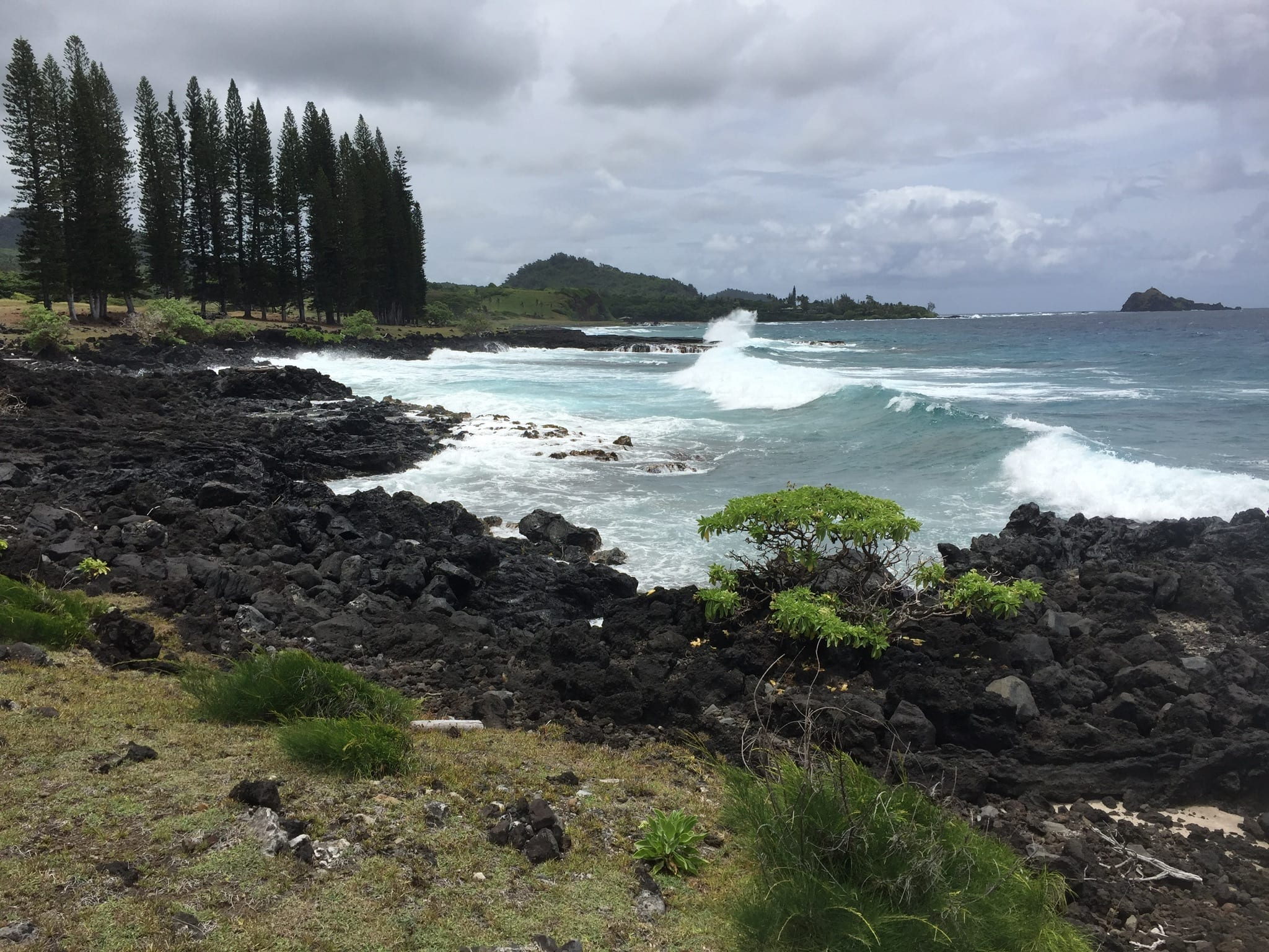
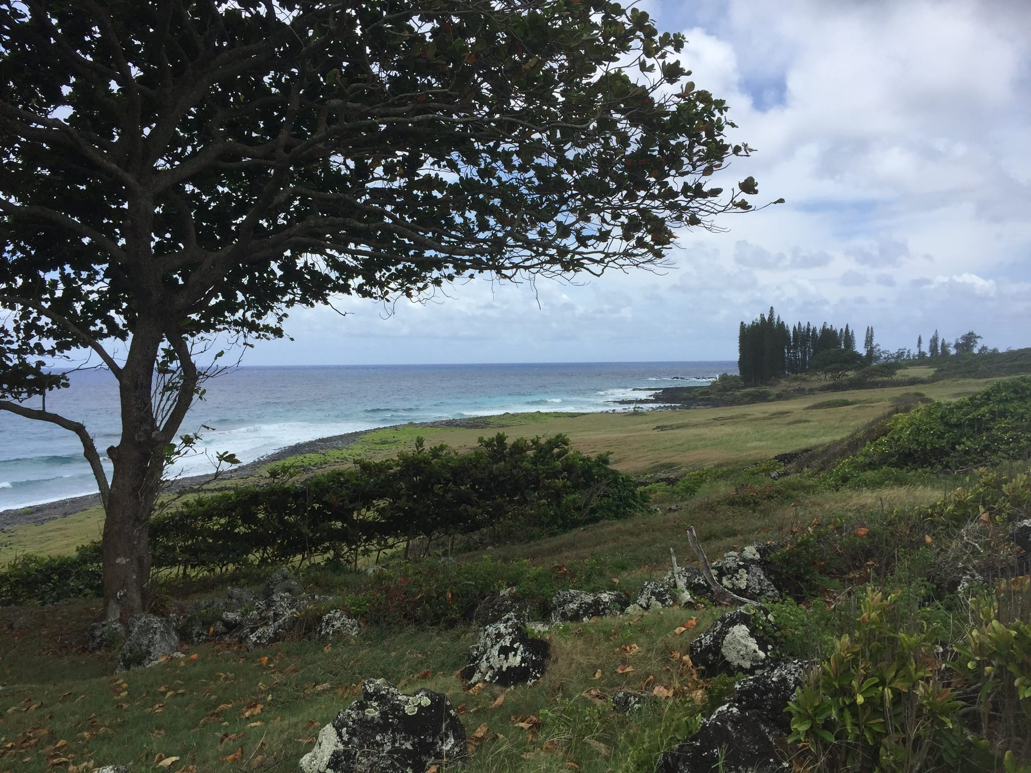
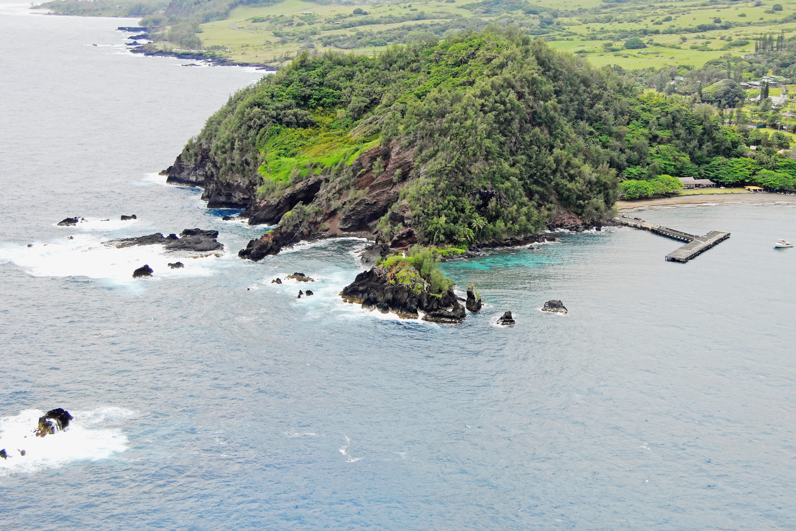
Currently this 400 acre coastal strip is a majestic expanse with Waiho'i Valley slopes to the west and a varied northeast coastline of cliffs and pounding surf alternating with bolder or volcanic sand beaches and tidal pools punctuated by the Kapia and Waiho'i stream mouths at shoreline. The area remains predominantly open pasture and guava scrubland; remnant rock walls, hala groves, fishing heiaus, seascape lookouts and burial grounds document the past. Ring necked pheasants, egrets, zebra doves, Hawaiian owls, red crested cardinals, mynas, and sparrows and finches are frequent bird sightings. A colony of Hawaiian Great Frigatebirds (iwa) is established at Hamoa and they are a common site soaring along shoreline. Current land use is dominated by cattle herding, local shoreline fishing and hiking. Local residents remain protective — warry of encroachment, structural changes, loss of the open space, and over use — here mālama i ka āina bears special significance.
Land Use History
Land use in East Maui, and more specifically for this writing the Maka’alae-Mokae lands, can be seen as subject to four land-use pivot points (paradigm changes), each followed by land-use eras. A long established and successful, communal Hawaiian agriculture was followed by a commercial export based agriculture of sugar and cattle, in turn followed by an era of mixed commercial agriculture and tourism, finally evolving into our current era increasingly dominated by investor realty.
1) The Polynesian discovery of the uninhabited, east-facing windward Waiho'i valley and coastal zone was followed by development of a sustainable, subsistent maritime and land based agriculture for 1000 yrs. Census data suggests peak population just prior to European contact, and oral and written history document extensive cultural achievements. The missionary census of 1831 listed 10,750 residents for the Hana district, and supports the existence of thriving communities in the Hamoa area.
2) An acculturation process of Hawaiian customs followed European contact. Beginning with Vancouver (1793) English explorers introduced goats and cattle, and Kamehameha brought herders to Maui to manage cattle. The Great Mahele and the Reciprocity Treaty introduced a new concept of “land use for profit ” dominated by sugar cultivation and ranching. Six sugar mills were constructed between 1849 to 1883. The Pivotal transition was from land as the “Sustaining nurturer” to land as a commercial resource to be exploited for export capital gain.
3) The Tsunami of 1946 destroyed Hana Bay wharf facilities, and sealed the fate of East Maui sugar. A marginally profitable sugar industry could not afford the required infrastructure reconstructions and the last sugar mill closed in 1946. Hana ranch was launched in 1944 when Paul Fagan purchased 14,000 acres of open land and imported cattle from Molokai. In conjunction with the ranch, construction of the Hotel Hana-Maui was completed in 1947. These events were followed by a land use era dominated by cattle ranching augmented increasingly by tourism.
4) The current land use era is dominated by tourism, and capital gains investment land tenure. In 1984 Hana Ranch and Hotel Hana Maui were sold to Rosewood Partners. This began a series of land sales and hotel ventures including purchases in 1989 by Keola Investment Group, and in 2000 by Meridian Financial Resources. In 2001 Meridian divided its assets selling the hotel properties to Passport Resorts and the ranch properties (including 4,500 acres) to Hana Ranch Partners (HRP), a mainland investment group based in San Francisco and Montana. In 2009 Passport Resorts sold the hotel to Ohana Hotel (managed through Vermont based Arden Grove Hospitality. In 2010 the hotel was sold to Amstar (a Denver based real estate investment company) through its Denver based subsidiary Green Tea LLC which operates Travaasa Destinations group. In 2010 the Hotel Hana Maui was renamed Travaasa Hotel.
In 2002 HRP sold 102 acres of coastal pasture land to Oprah Winfrey and Bob Green, and also converted 41 acres at Maka'alae and 4 acres designated as Kakio I to conservation. In 2013 they sold the Hana Ranch facilities, including 3,600 acres of ranch land, and two water supply companies to Bio-Logical Capital of Colorado. In 2014 HRP converted an additional 10 acres at Kakio II to conservation.
In March 2018 HRP attempted to sell 44 acres at Maka'alae point to a California buyer who subsequently reneged on a purchase offer after community meetings demonstrated strong opposition during the buyer's due diligence interval. HRP is currently listing 400 acres of coastal properties for sale, describing the marketing as "listing online to a global audience aimed at an expanded pool of potential buyers in Asia, Europe, and Canada."
The next 4 years will be a final historic land use pivot. “On our watch as Maui residents," and coincident with the Victorino administration, East Maui coastal land use will likely be determined for the next 100 years or more.
Cultural Importance and History
Pre-contact: Hana is regarded as one of Maui’s major centers of late prehistoric population concentration & political development. It is also home to Pi’ilani Heiau, considered the largest intact sacred sites in the Hawaiian islands (12th century).The importance of Hana during ancient times can be attributed to the productivity of the ocean enhanced by fishponds, the relatively gentle slope of the Hana plains & fertile volcanic soils, & abundant rain reducing the need for irrigation. All this made Hana one of the richer resource areas within the Hawaiian Islands during ancient times.
Hana was considered a favored residence of the ali‘i whose location offered “an abundance of useful woods for making scaffolds & ladders (for scaling fortresses) & where warriors could procure the best round smooth stones for making slingstones”. Hamoa was also a playground for the ali’I who enjoyed water sports & surfing.
Traditional accounts concerning the Hana area focus mainly on armed strife between Hawai‘i & Maui Islands. During the last half of the 18th Century the high chiefs Kahekili of Maui & Kalani‘ōpu‘u of Hawai’i carried on the battles between Maui & Hawai'i. Kalani‘ōpu‘u was in control of the Hana & Kipahulu areas from 1759 to 1765 until Kahekili won the battle. However, the Hawai'i forces were able to regain control from 1775 to 1783. In November 1778, Kalani‘ōpu‘u & Kamehameha were entertained on the British ship Resolution (Cpt. James Cook), while anchored off the Hana coast & were assumed to be chiefs of Hana region. With the death of Kalani‘ōpu‘u in 1782, Kahekili regained control of Hana, which he retained until his death in 1794, though not without further battles with Hawai‘i Island forces. With the death of Kahekili, Kamehameha, whose birth place is 32 miles directly across the ‘Alenuihāhā Channel from Mokae, gained control of Hana & Maui by 1795.
Hana is also the birthplace of Queen Ka‘ahumanu, favored wife of Kamehameha I. Hana was her father’s land, the ali‘i nui Ke‘eaumoku Papaiaheahe, a close ally of Kamehameha. Upon Kamehameha’s death, she became Queen Regent & ruled the Hawaiian Islands until her death in 1832.


